

Before there were countries
People have always lived in groups, built communities and organized themselves. But for much of history, the world was not divided into countries in the way we know today.
Ancient kingdoms and empires controlled large areas of land, sometimes stretching across regions where people spoke different languages and followed different customs. Their territories could expand when rulers conquered new lands and shrink when they lost battles or when parts of an empire broke away.
The edges of these territories were not always clear. A king might control a city and the surrounding farmland, while another ruler controlled the next major settlement. Between them could be large areas where neither had complete control.
Over time, political systems developed that divided the world into separate territories, each with its own government. The modern idea of a country, with a defined territory and authority over the people living there, became especially important over the last few centuries.
Today, a country's borders help establish where its government can make and enforce laws. They also define the territory for which it is responsible, including its roads, public services, natural resources and security.
Why do borders follow rivers and mountains?
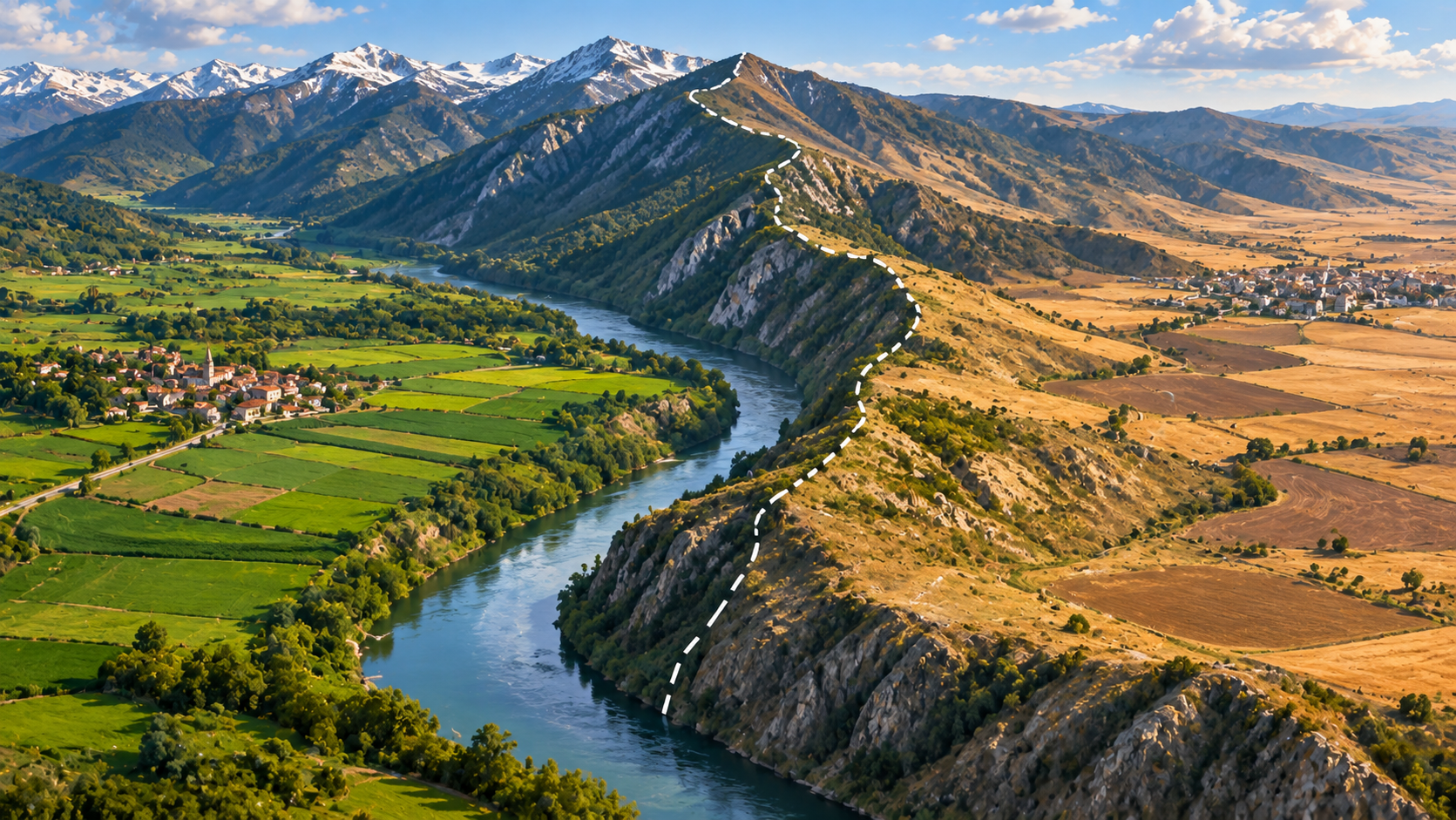
When people needed to decide where one territory ended and another began, natural features could make useful dividing lines.
A mountain range can be difficult to cross, so the peaks may form a convenient boundary between two regions. Rivers can also separate communities, especially when they are wide or difficult to cross. The Pyrenees Mountains, for example, form much of the border between France and Spain.
Natural features are not always the reason for a border, though. Some boundaries follow roads, old property divisions or lines agreed upon by governments. Others were drawn across open land where there was no obvious geographical feature to follow.
A particularly interesting example is the border between the United States and Canada. Much of it follows the 49th parallel, an imaginary line of latitude running around the Earth. If you look at a map, you can see how straight and regular parts of this border appear, even though there is no mountain range or river marking the line.
You can explore the different ways physical and political boundaries are created in this guide to geographical boundaries.
How wars and agreements change borders
Borders are not permanent. They can change when countries fight, when rulers make agreements or when people decide to form a new country.
Throughout history, wars have been one of the main reasons borders moved. A victorious country might take control of territory that previously belonged to another ruler. After the fighting ended, leaders would often negotiate an agreement describing the new boundaries.
But land has also changed hands without a war. Governments have sometimes bought or exchanged territories through agreements. In 1803, for example, the United States purchased a vast area of land from France in a deal known as the Louisiana Purchase. This dramatically expanded the territory controlled by the United States.
Sometimes borders change because a country itself breaks apart or joins together with another country. Germany provides a more recent example. After World War II, Germany was divided into two countries, East Germany and West Germany. For decades, a heavily guarded border separated them. In 1990, the two countries reunited, and the border between them disappeared.
These examples show that a border reflects decisions made by people at particular moments in history. The line on today's map may look permanent, but it is the result of events that took place over many generations.
Who decides where borders go?
Usually, borders are decided through negotiations between governments. Leaders may discuss where a boundary should run, sign an agreement and create official maps describing it.
However, the people who live in the area are not always the ones making these decisions.
This became especially important during the period when European powers controlled large parts of Africa and other regions around the world. Colonial governments often drew borders to divide territories between themselves, without paying enough attention to the communities already living there.
Sometimes a single community found itself divided between different countries. In other cases, groups with different languages, traditions or political interests were placed inside the same new country. These decisions could create difficulties that continued long after colonial rule ended.
A border drawn on a map might look like a simple line, but it can affect where people live, which government they belong to and how easily they can visit relatives on the other side.
What does a border mean in everyday life?
For people living in a country, borders help determine which laws and government services apply to them. They establish where a person can vote, which government issues their passport and which authorities are responsible for public services.
Crossing an international border can also mean entering a place with different rules. Depending on the countries involved, travellers may need to show a passport, obtain a visa or pass through a security check. Some borders are easy to cross, while others are tightly controlled.
Borders also affect trade. Countries can decide what goods may enter or leave, whether taxes must be paid on imported products and what rules businesses must follow when trading internationally.
Yet borders do not stop everything from crossing them. Rivers, forests, animals, weather systems and pollution do not follow political lines. People also continue to share languages, family connections, traditions and business relationships across national borders.
This is why a border can separate governments without necessarily separating the people who live on either side.
Why are some borders disputed?
Sometimes two countries disagree about where their shared border should be, or which country has the right to control a particular area.
These disagreements can happen for several reasons. The territory might contain valuable natural resources, provide access to an important sea route or have historical and cultural importance to the people involved. Sometimes the original agreement describing the border is unclear, or different governments interpret it differently.
A disputed border can become a source of tension, especially when the countries involved have different ideas about who should control the land. In some cases, disagreements are resolved through negotiations or international agreements. In others, they can continue for many years.
There is also an important distinction between a border that separates two countries and a line that separates areas controlled by different groups within a country. These lines may look similar on a map, but they do not always have the same legal meaning.
Explore the borders on a map
Choose two neighboring countries and find their shared border on a map. Does it follow a river or a mountain range, or does it appear as a straight line? Then look at an older map of the same region. Has the border moved? If it has, try to find out what happened.
You can also look at a map of Africa, where many country borders were established during the colonial period. Notice how some lines cut across the continent in long, straight sections. Compare them with the borders of European countries, which often follow older divisions shaped by centuries of wars, agreements and political changes.
A useful question to ask is whether the border reflects the way people in that region have traditionally lived, or whether it was drawn mainly to serve the interests of governments.
A country's border is one of the things that makes it a country, but the story behind that line can reveal much more. It can lead to the history of empires, the geography of mountains and rivers, the movement of people and the ways societies decide how to live together.
Sapienta helps parents follow these connections and discover what might be interesting to explore next, based on their child's age, interests and previous discoveries.
Raise curious, knowledgeable kids.